
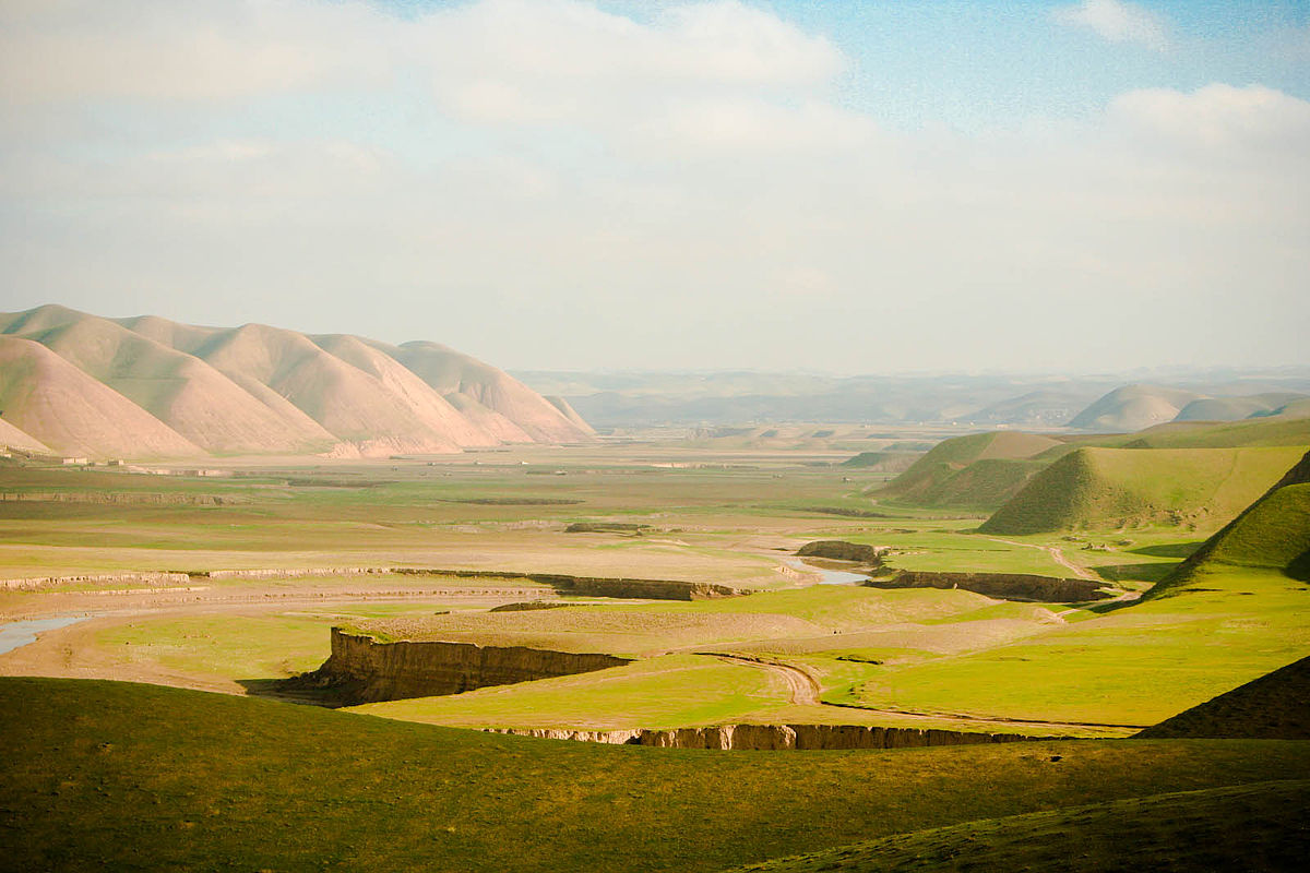
Faryab region is one of the thirty-four provinces of Afghanistan, which is located in the north of the country bordering neighboring Turkmenistan. It has a population of about 948,000, which is multi-ethnic and mostly a tribal society. The province encompasses 15 districts and over 1,000 villages. The capital of Faryab province is Maymana.
Challenge
Ground water is the main source of clean water, extracted from ordinary wells as well as bore wells. The knowledge of the hydrological situation in the region is essential in order to effectively search and find places for bore wells.
Throughout the years many different organisations have been active in drilling bore wells, and a lot of hydrological data exists. However, this information and data is not systematized and easy accessible. The challenge is therefore to systematize available data and find ways and means to make the data easy accessible so that future search for water will be effective. Using GIS is a means of making the search efficient.
Scope of work
The Norwegian government/NORAD is financing comprehensive development programmes in Afghanistan in order to provide a better future for the people in the country. One programme is related to the water sector.
Purpose of the work
The purpose of the project was to plan for a hydrogeological survey for Faryab province and make the methodology to be a model for all other 34 provinces in Afghanistan. In parallel, the purpose was to prepare a GIS/MIS that would produce a map/web water user atlas for making it easier for people to find information about where to find ground water suitable for drinking. This should be coordinated with parallel databases to be established for monitoring, operation and maintenance of all rural water supplies as well as for reporting on service coverage and service gaps.
Furthermore, the purpose was to prepare training programme and train all staff involved in surveys, data collection database maintenance in MRRD and in other key sector agencies as national and provincial levels. This should cover a training plan with close to 40 shorter courses. For enhanced sustainable training and capacity building the project was linked to university training, government training and use of NGOs and private sector. Based on survey in Faryab region the purpose was to prepare conceptual design for water supply for three towns in Faryab. This should cover gender issues, and conflict management associated with water supply and sanitation development.
Description of services provided
NORPLAN has provided international technical expertise, covering hydrogeological expertise, training support and expertise, and project management. Special GIS and MIS expertise was provided through international personnel working through local experts and local staff for development and maintaining an enhanced information system.
Field work was carried out, included hydrogeological investigations, data collection from geological maps, old hydrogeological reports, survey of existing water points, soil surveys, river water balance for assess recharging of water aquifers. The field surveys were provided by local partner and government staff.
NORPLAN was also involved in establishment of local office within ministry, procurement of transport and equipment, financial management of funds using developed procurement guidelines for good governance and transparency.
As part of the work, NORPLAN also provided support to sector coordination and information exchange with other programmes, donors, ministries and private sector for use of information.
Project facts
| Internal Project Number | 579761 |
|---|---|
| Project Title | Capacity building and Institutional Cooperation in the Field of Hydrology for Fayab Region |
| Project Category | Water, Hydrogeology, GIS, Groundwater mapping, capacity building |
| Fields of Expertise | Water and Environment, Hydrogeology, Water supply, training, IT and GIS expertise, quality control systems, Inter-departmental coordination, program management |
| Participating Offices | NORPLAN Afghanistan, Asplan Viak Kristiansand, Asplan Viak Arendal |
| Deliverables | Provincial hydrogeological map, prepare provincial water atlas. Developed methodologies for hydrogeological surveys and mapping, data management and development of GIS and online hydrogeological maps. Implemented 45 training courses for over 800 trainee participants, delivered 3 national conferences ( groundwater mapping, GIS, strategic water supply planning). |
| Project Duration | 2012-2016 |
| Size of Project Area | Complete territory of Afghanistan with Faryab province as pilot area (20 290 sq km) |
| Project Location | National program with Faryab Province as pilot province for surveys and development of methodologies and hydrogeological documentation |
| NORPLAN Contact Person | Dr Svein Stoveland |
| Client | Ministry of Rural Rehabilitation and Development, Afghanistan |
| Client Contact Person | Ghulam Qader, Director / M. Afzal Safi, National Coordinator |
| Cooperating Partners | Danish Committee for Aid to Afghan Refugees (DACAAR) |
| Awards | N/A |
| Project Value | USD 5 000 000 (Funded by NORAD) |