The South Al Batinah Region is located next to Muscat, the capital of Oman, which has led to a population growth in the region much higher than the average in the country.
To a large extent the people living here is commuting to Muscat on a daily basis, but a number of new work places have been created in the region. The need for developing urban areas has therefore gained high priority, and the Ministry of Housing has initiated a Land Use Master Plan.
Challenge
As all citizens of Oman are entitled to a plot of land for erecting their house at the age of 23, the pressure on carrying out urban planning is heavy. As there is no deadline for erecting the house, many citizens wait until a later stage to do so, and the urban plan must therefore by far cover the actual number of houses being erected.
Scope of work
The scope of work is to prepare a detailed master plan for existing urban areas as well as urban extension areas as defined in a master plan for the coastal area for both South and North Al Batinah regions. The plan enables commercial, agricultural, and residential development of the area, in an optimized and balanced way, for social, economic, cultural and environmental benefit of the citizens and visitors to this area. This includes sufficient social infrastructure and public /semi-public functions, serving the residential areas, and industrial zones of South Al Batinah Region.
This plan will then work as a basis for detailed plot planning in the urban areas by parceling out plots for residential and commercial use as well as for detailing the road hierarchy.
The purpose of the work:
- To prepare a detailed Land-Use Master Plan within Urban Zone and Urban Expansion Zone.
- To prepare sub-divisional layout with sub-divisional infrastructure for the designated Urban Zone and Urban Expansion Zone as specified in the Coastal Area Master Plan. Integrating these zones to meet housing and the related land use demands in a planned manner which would encourage to achieve better economic, social, and environmental developments in the region.
Description of services provided
- Phase 1: Review of Al Batinah Coastal Area Master Plan Prepared by SCP.
- Phase 2: Establish Strategic Land Use Policy Framework.
- Phase 3: Detailed Land Use Plan.
- Phase 4: Detailed Sub-divisional Plan.
- Phase 5: Regulations and Implementation Plans and Budget.
Key concepts
-

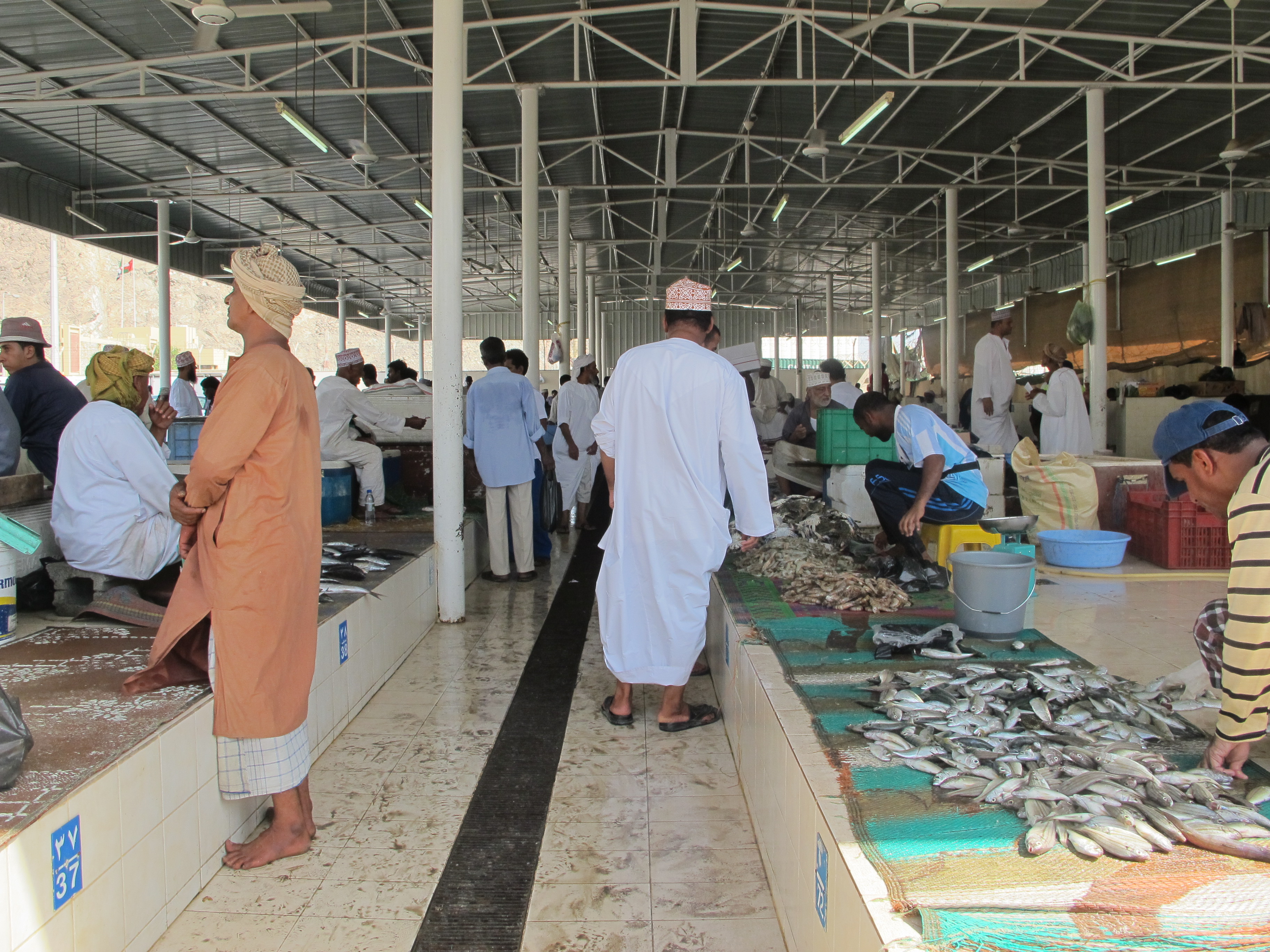
Al Batinah Fish Market
-

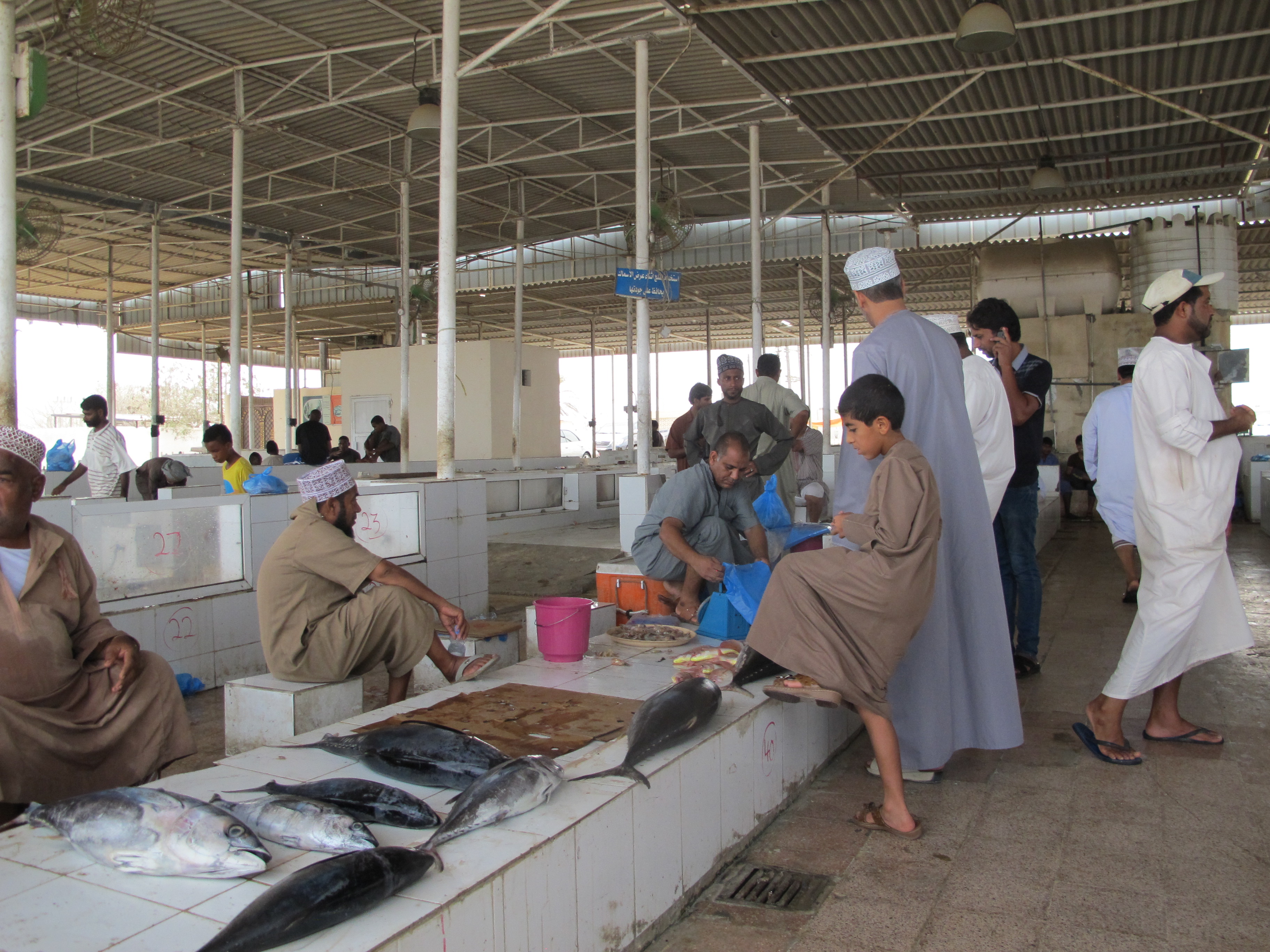
Al Jamma Village, construction work
-

Al Jamma Village, construction work (ii)
-

Barka Souq
-

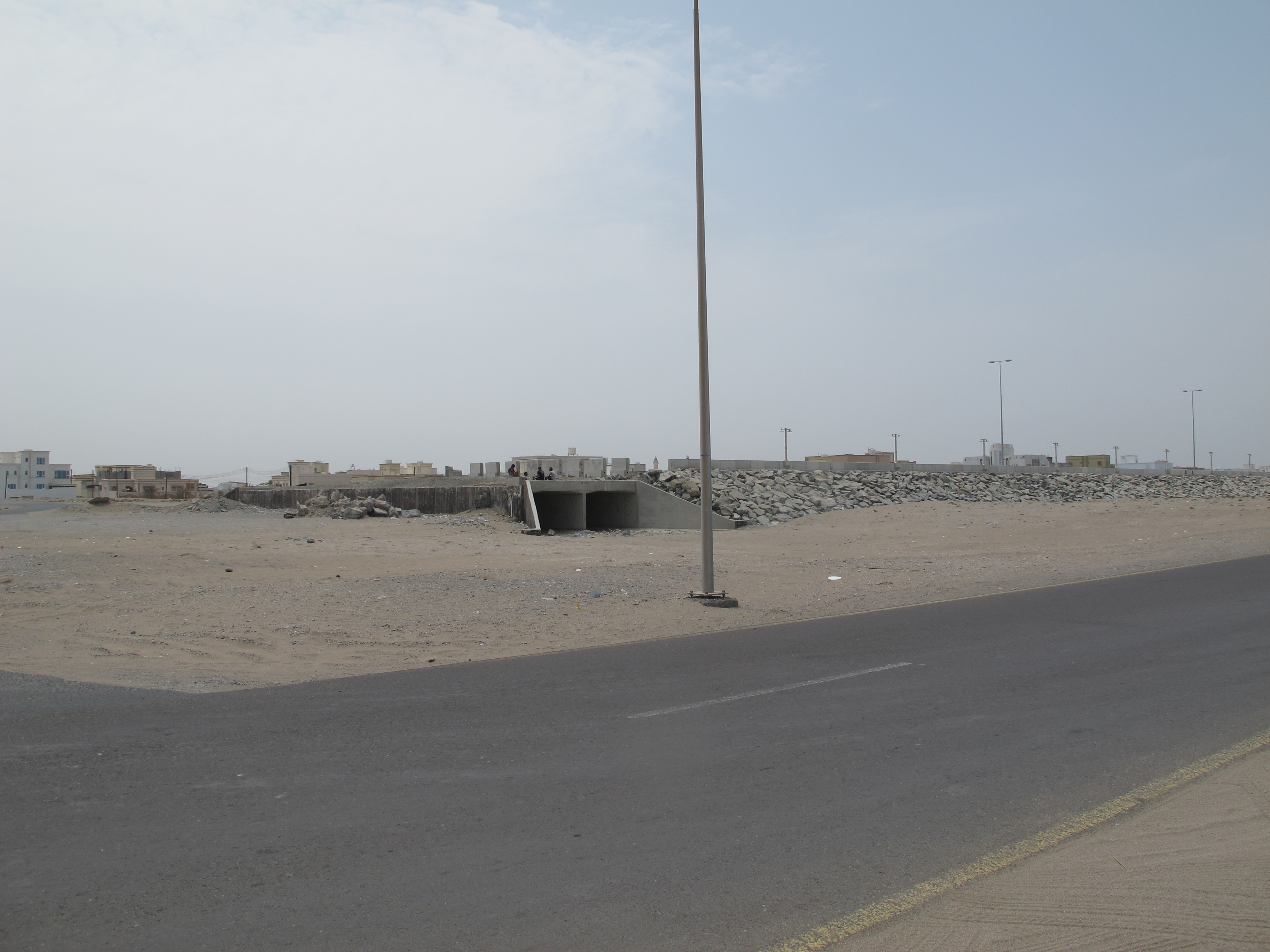
Al Batinah Coastal Road
Project data
| Internal Project Number | 600246 |
|---|---|
| Project Title | Land Use Master Plan for South Al Batinah Region Plains |
| Project Category | Regional Plan, Land Use Master Plan, Urban Plan |
| Fields of Expertise | Plan and Urbanism, Transportation, Urban Development, Municipal and Regional Planning, Impact Assessment, Transportation |
| Participating Offices | NORPLAN Oman, Asplan Viak Oslo, Stavanger |
| Deliverables | Land Use Master Plan for urban areas and urban expansion areas as well as thematic reports |
| Project Duration | 2015 – ongoing (planned until 2017) |
| Size of Project Area | 1,000 km2 |
| Project Location | South Al Batinah Region, Oman |
| NORPLAN Contact Person | Tone Bjørnhaug |
| Client | Ministry of Housing, Sultanate of Oman |
| Client Contact Person | Abullah Al Maazrouey, DEC |
| Cooperating Partners | Dawood Engineering Consultants (DEC) (NORPLAN acting as sub-consultant to DEC) |
| Awards | N/A |
| Project Value | USD 300,000 |

