

Mike Cheremshynskyi is a world leading expert who is NORPLANs project manager for the crustal movement project.
The Earth has several major plates and dozens of minor plates. Plates are either ocean plates , composed of ocean seafloor, or lighter, thicker continental plates. Due to the spinning, rotation and lithosphere activities of the Earth, these plates are moving, which causes volcanoes, earthquakes, drift, landslides etc. The movement of the plates also affects the accuracy of maps for the region. So there are many advantages to understand movements in the plates and their consequential effects on the development in their own land.
The region in question is the Gulf region and the land of United Arab Emirates with Abu Dhabi as one of the emirates. The project received an award from Abu Dhabi Emirate for its achievements.
Challenge
The Global Positioning System (GPS) has been most useful to study the Earth’s crustal movement. By repeatedly measuring distances between specific points on the Earth’s surface. The separations between GPS points are being measured regularly on the permanently defined points around the country. By monitoring the movement between the regional plate and the surrounding plates, the movement rate and direction of plate movement can be defined and averaged over several years.
Scope of work
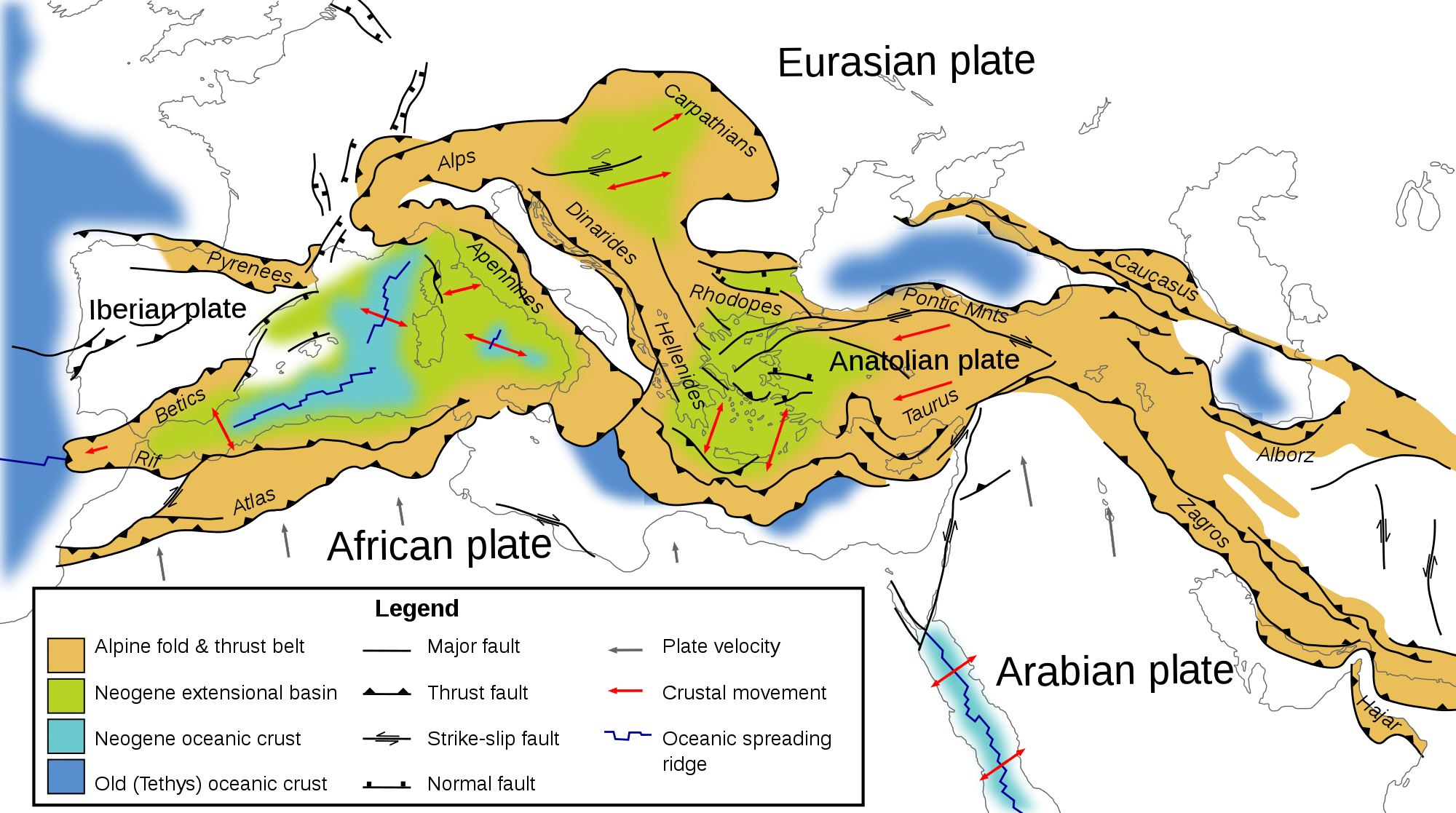
The United Arab Emirates lies on the Arabian plate. There are many GPS Continuous Operating Reference Stations (CORS) throughout the Emirates. The crustal movement in the region was calculated by means of the existing GRS Network. The GPS data for these stations collected for the span of four years was used to calculate the crustal deformation, movement rates and direction of GPS station.
Purpose of the work
The main purpose of the project was to estimate stations velocities of CORS stations in Abu Dhabi Emirate using available four years continuous GPS data. Estimation of CORS sites velocities were carried out in association with crustal movement study in the Abu Dhabi Emirate with respect to existing tectonic plate in the region.
The objectives were:
- From the GPS data, to compute the GPS-time series, velocity vectors and error ellipses
- To develop a program to carry out the computation of above components automatically/regularly in the future
- To supply the software and provide the training to the local staff
- To publish a joint paper on international forum about the project’s outcome
Description of services provided
The Scope of Work was subdivided into six main blocks for the purposes of the project management and implementation:
- Data collection, analysis and preparation for the processing
- GPS data computation of and determination of velocities
- Interpretation of the results of the data processing
- Training and capacity building of local experts
- Development of the automated procedures for data processing
- Project maintenance and support
The results of the computation of GPS observation were obtained as follows:
- Coordinate time series
- Tropospheric zenith path delay parameters
- Velocity vectors of each GPS station
- Other data as per RFP requirements
The technical deliverables have been:
- Draft Report on the project results
- Final Technical Report of the project
- Article (paper) on the results of the GPS data processing
Project facts
| Internal Project Number | 537094 |
|---|---|
| Project Title | Crustal Movement Study |
| Project Category | Geodetic Analysis |
| Fields of Expertise | Geomatics, geotechnics |
| Participating offices | NORPLAN Abu Dhabi |
| Deliverables | Report and data on movement of the crust of the earth |
| Project Duration | 2015 – ongoing (planned until 2018) |
| Project location | Abu Dhabi Emirate, United Arab Emirates |
| NORPLAN Contact | Mr. Tor Gunnar Øverli |
| Client | Abu Dhabi Municipality |
| Client Contact | Mr. Syed Iliyas Ahmed, Spatial Data Division, Abu Dhabi Municipality |
| Project Value | USD 900 000 |